FOOTPATHS
By Sydney Pullinger
One of the pleasures of living in Alresford is that it is completely surrounded by countryside. Within 10 or 20 minutes, in almost any direction, one can be in the middle of nowhere on some little used footpath or bridleway and the noise and bustle of the town could be a hundred miles away.
Most of these paths are hundreds of years old, some Saxon, Roman and even pre-Roman. This network of tracks grew out of necessity, when poor men walked and rich men rode horses and such slow means of locomotion demanded short cuts to link home with church and work and village with village. Landowners accepted these paths across their land as a necessity for themselves, their tenants and travellers. As advancing civilisation brought faster means of transport many of the tracks were incorporated into a paved road system and most of the rest fell into disuse. But civilisation also brought leisure and pressures and with the coming of the railways and the bicycle the townspeople turned to the countryside for their weekend recreation.
Whilst many landowners were quite happy for their property to be traversed by locals and tenants they were not so willing to accept strangers. As far back as 1835 the Highways Act of that year had stated that footpaths and bridleways were as much highways as paved roads and that law still stands. It laid down specifications for the width and gating of bridleways but said nothing about footpaths. Motor cycles were barred by the Road Traffic Act of 1930. In 1934 the Rights of Way Act stated, with some reservations, that undisputed use of a path for a period of 20 years was sufficient proof that the then owner had dedicated it as a public path and subsequent owners did not have the right to close it. However, the status of many paths remained uncertain and it was not until after the second World War that a serious attempt was made to tie up all the loose ends. In 1949 the National Parks and Access to the Countryside Act laid a duty on every County Council to survey and map all paths in its area that might be considered public by virtue of past or permanent use. These paths were to be defined as footpath, bridleways or Roads Used As Public Paths, the latter commonly referred to as R.U.P.P.s or Green Lanes.
This first survey was a mammoth task involving district and parish councils, voluntary societies and interested individuals. It involved consulting old maps and records, interviewing the ''oldest inhabitants'' and finally establishing on the ground the lines of paths disused for generations. Every possible path was claimed as a right of way and it was then up to dissenting landowners to prove otherwise. Once all the arguments were settled every path was given a parish number, a statement defining its status: route and condition and placed on a definitive map. Once on the map the path was a legal right-of-way for all time and could only be altered or extinguished after a court hearing where landowner and objectors to the change or closure could state their case.
New Alresford parish is extremely small (approx. one square mile) and is mainly built up so apart from its river walk it has little to offer. However, the surrounding parishes are in comparison very sparsely populated: being in the main farmland. Itchen Stoke to the west and Old Alresford to the north have respectively 9 and 14 miles of rights of way, rather more than their total mileage of paved roads. It is interesting to note that the surrounding countryside has a remarkably consistent ratio of road and path mileage to area: namely two miles of road and rather more track per square mile.
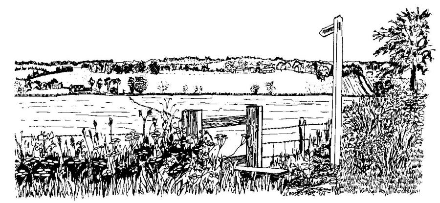
Thus we find that with New Alresford Church as centre and ignoring the many estate roads, within a circle of 3 miles radius there are 55 miles of paved roads and 60 miles of tracks, many wide and spacious, others narrow, ill-defined or invisible on the ground but all available to the walker and in the case of bridleways, for horseriders and cyclists also. The accompanying sketch map shows clearly that while many of the paths have become incorporated into the road system others remain as they always were, long distance and direct routes from village to village. If one walks south out of Alresford along Sun Lane a track starting opposite the old Links Laundry: AAA, continues in almost a straight line to the village of Bramdean. A right fork along this track with a modern slight diversion along a minor road takes one straight to Hinton Ampner: BBB. Compare the directness of these paths with the road. A green lane starting at Upton Farm in the north east corner of Old Alresford did, runs in a straight line almost to Wield, where it meets the road. This track is over 3 males long, has one minor road crossing, some four houses and a farm along its entire length.
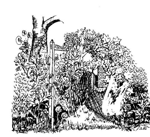
A footpath signpost at the bottom of the Dean causes much comment. It states footpath to Wonston and Stockbridge'' the latter being some 16 miles away. This path follows the river to the old Eelhouse crosses into Old Alresford and continues to the bottom of Drove Lane? where begins the old drovers road to Stockbridge, CCC. Much of this old road has disappeared under cultivation and development but within our 3 mile circle it remains much as it always was. It runs northwards from the bottom of Drove Lane along a wide gravel and grass track, crosses the Candover stream and continues north west in a straight line to Itchen Wood, where it joins the road. It crosses the A33 at the Lunways Inn and reverts to its original form.
This first section out of Alresford has two minor road crossings, is some 3½ miles long and has only one cottage along its entire length.
Other tracks leading from Winchester and Itchen Abbas to Abbotstone, EEE are considered to follow the line of the Saxon roads to London, which joined at Abbotstone from Southampton and Winchester, continuing through Old Alresford, Bighton and Medstead to Alton.
The history of many of these tracks must remain a mystery as any new evidence is unlikely to come to light. What matters to us is that they still exist and they take us into the heart of the countryside. If there is any unspoilt country left in Hampshire today, it will be found along these paths.
FOOTNOTE
It is not intended that the sketch map (although to scale - approx. 2½ inches to 1 mile) should serve as a walkers' guide. Its purpose is to show clearly what the detail of a proper map obscures the vast number of paths available to the countrylover. I have however, put the paths into two categories --o--o--o-- indicates that it is a fairly comfortable path at all times of the year, not obstructed by gates or stiles.
--x--x--x-- indicates that the path is frequently muddy or may be obstructed seasonally by crops, ploughing, nettles, brambles or electric fences.
Many paths are signposted at road junctions. Many are fenced or hedged and are easy to follow. Many lead across fields and through woods, are unenclosed and disappear regularly under the plough and crops. To find and follow these will require a sense of direction and skill with a proper map.
The Ordnance Survey produce two excellent maps. The Landranger Series, Sheet No.l85, price £2 covers some 625 square miles of Hampshire with Winchester as centre. All rights of way are shown with different symbols for footpaths, bridleways and R.U.P.P.s. Scale is 1¼ inches to 1 mile. For those wanting a larger scale, and thus covering a much smaller area, there is the Wayfarer Series 2½ ins. to 1 mile). This series is new and is still incomplete. The sheet, covering Alresford should be available this year. For those interested in history there is a great deal of literature in the reference library in Jewry Street, Winchester.